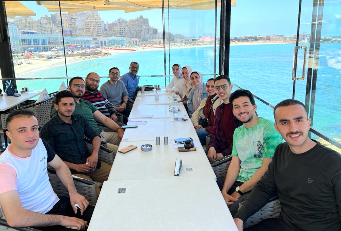
Urban Surveying Team
Arch. Esraa AbdelSalam, Arch. Dalia Ganzory, Arch. Salma Shemy, Arch. Esraa M. Othman, Arch. AbdelRahman ElSayed, Eng. Abdelrhman Khair Habashy, Eng. Osama Mohamed Elsayed Mostafa Elshamy, Eng. Mohamed Shafik Soussa, Eng. Ahmed Saad, Shahin Mohamed, Seif Yasser.

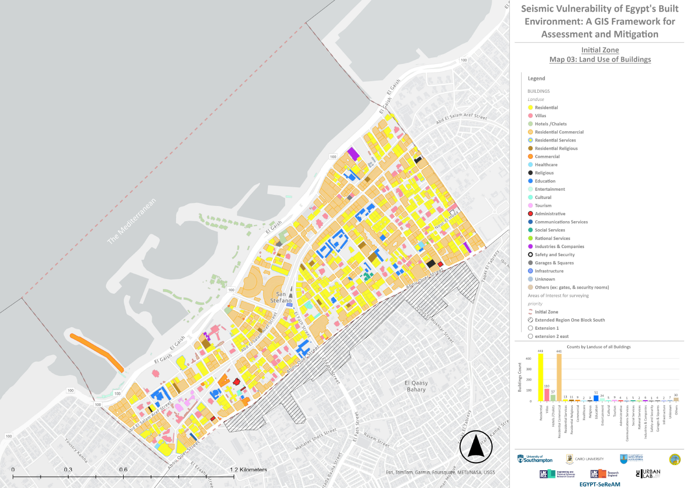
Generated GIS Maps
This workpackage is lead by UrbanLab, Alexandria University aims to developing a GIS database for the urban environemt. This will include a review of the building stock, particularly residential buildings. Data will be collected related to construction date, building dimensions/height, structural system, foundations, etc. The data will be collected from available satallite images, digital maps, city data, local design firms, and finally field surveying. The building stock will be used to develop a portfolio of archetype buildings that can then be modeled and simulated under representative earthquake scenarios.
